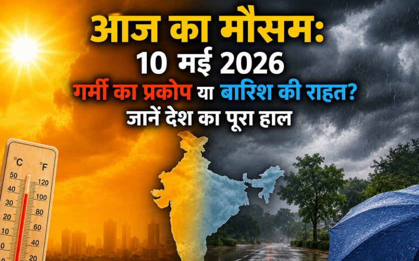
As we move through the peak of summer, the weather across India on May 10, 2026, presents a contrasting picture. While the plains of North India continue to battle intense heat, the India Meteorological Department (IMD) predicts active pre-monsoon conditions in several other regions. From dust storms in the North to heavy showers in the South, here is the complete countrywide forecast to help you plan your day.
1. North India: Delhi-NCR, Punjab, and Haryana
The heatwave remains a concern for the northern plains. In Delhi and the National Capital Region, maximum temperatures are expected to hover between 38°C and 42°C. However, residents might find slight relief by late evening, as high-velocity winds (40-60 kmph) and light thundershowers are likely.
- Advisory: Nights are expected to stay warm (25-28°C), so ensure proper indoor ventilation.
2. West and Central India: Mumbai and Gujarat
In Mumbai and coastal Maharashtra, the mercury will stay between 31°C and 34°C. While the temperature seems moderate, high humidity levels will make it feel significantly hotter and stifling. Parts of Gujarat may experience dry heat with clear skies throughout the day.
3. South India: Bengaluru, Chennai, and Hyderabad
Pre-monsoon activity is at its peak in the South due to a cyclonic circulation in the upper atmosphere.
- Bengaluru: Expect very pleasant conditions (28-32°C) with a high probability of afternoon showers.
- Chennai & Hyderabad: Moderate rain accompanied by lightning and gusty winds is predicted, which will provide a much-needed break from the summer heat.
4. East and Northeast India: Kolkata and Assam
Kolkata is bracing for potential “Kal Baisakhi” (Nor’wester) storms. While the day will be hot (36-39°C), afternoon squalls are expected to cool down the city. Meanwhile, the Northeastern states, including Assam and Meghalaya, are likely to witness heavy rainfall.
5. Himalayan Region: Shimla and Manali
The hill stations remain the go-to escape for many, with temperatures ranging between a comfortable 18°C and 25°C. Light localized showers might occur, keeping the air crisp and cool.
Key Scientific Factors Influencing Today’s Weather
Meteorologists have identified three primary drivers for today’s patterns:
- Western Disturbance: A fresh disturbance is triggering dust storms and instability in Northwest India.
- Cyclonic Circulation: Moisture-laden winds from the Bay of Bengal are fueling rains in the South and East.
- Monsoon Onset: Early indicators suggest an advanced arrival of the monsoon in the Andaman and Nicobar Islands, impacting the overall wind flow.
Expert Safety Tips
To stay safe during these fluctuating conditions:
- Hydration is Key: Drink plenty of water, ORS, or natural juices to prevent heat exhaustion.
- Avoid Peak Sun: Try to stay indoors between 12:00 PM and 4:00 PM.
- Storm Safety: During thunderstorms, stay away from tall trees and electric poles.
Disclaimer: This article is intended for general informational purposes only. Weather conditions are highly dynamic and can change rapidly. For critical decisions involving travel, agriculture, or construction, always verify with the official India Meteorological Department (IMD) website or their live tracking apps. We are not responsible for any inconvenience or loss resulting from reliance on this data.